The Ministry of Finance of the Republic of Estonia has announced that the final draft of the Estonian Maritime Spatial Plan has been prepared. The document will be available to the public for a month and will be submitted to the government for adoption at the end of the year. The plan sets out principles for the various uses of the sea and establishes conditions and guidelines for new prospective ways to use the sea. In total, more than 20 conditions have been set for wind energy.
The purpose of maritime spatial planning is to agree on long-term rules for the use of Estonia’s maritime space. Once adopted, the plan will serve for 15 years as the basis for future decisions on the use of marine space by both ministries and agencies. The marine spatial planning and its impact assessment was initiated by the Estonian government on 25.05.2017. The Ministry of Finance is responsible for preparing the plan and its impact assessment. The Marine Spatial Plan and its impact assessment will be prepared in collaboration with a consultant and expert team from Hendrikson&Ko.
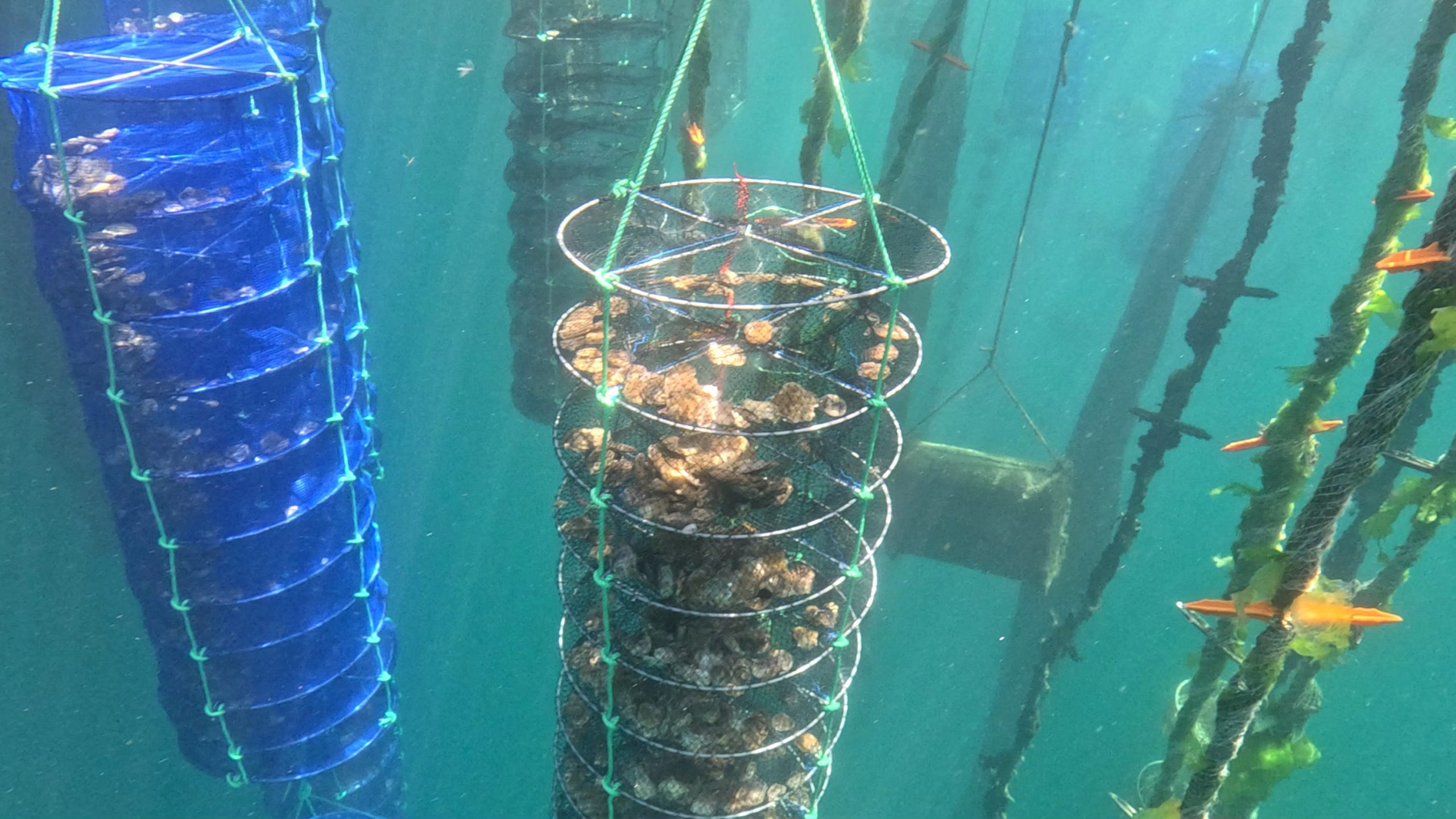
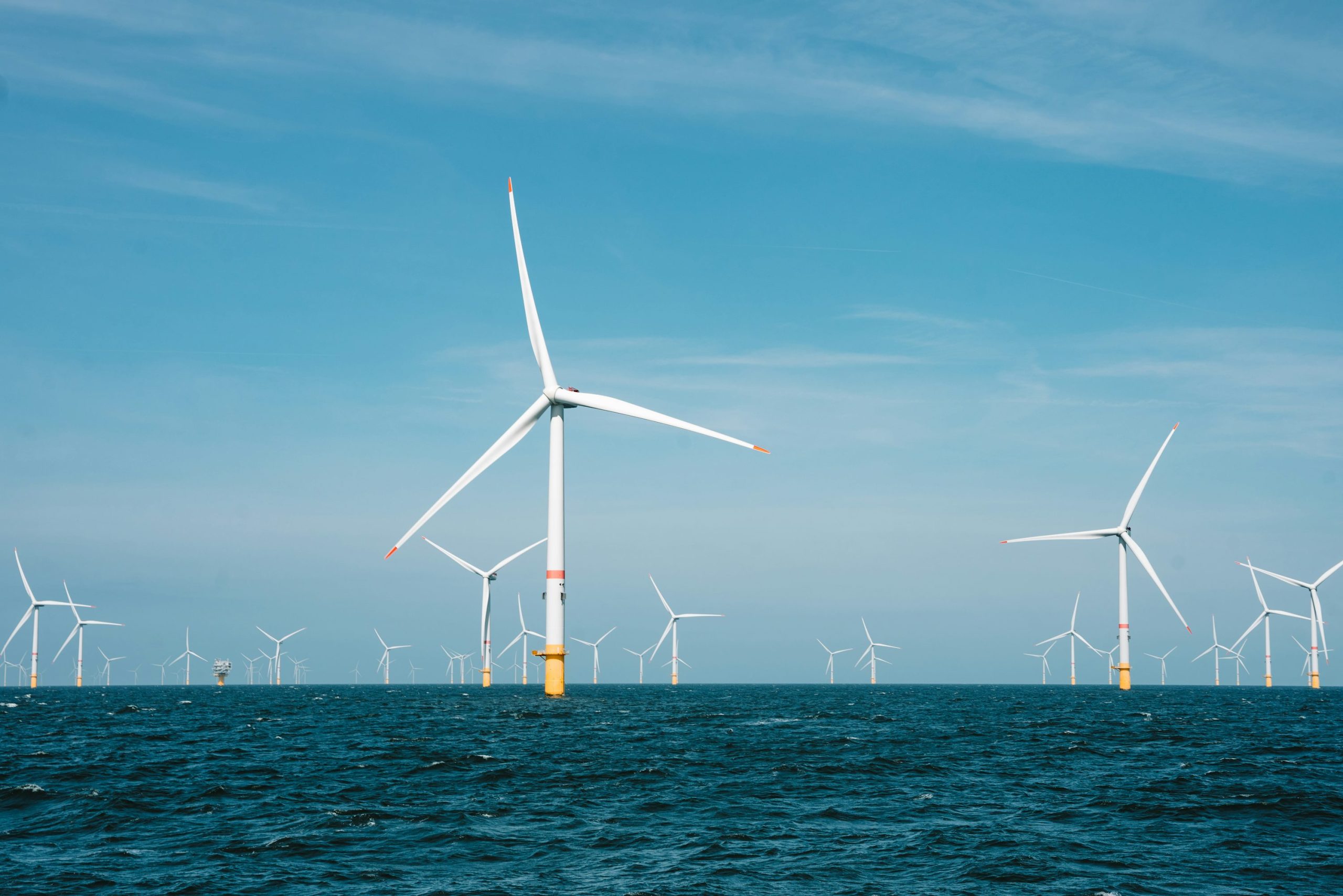
“The sea is a valuable resource for us, and today it is used for various purposes”, said Jaak Aab, Minister of Public Administration of Estonia. He added that new uses of the sea have emerged alongside traditional activities, so in addition to fishing and shipping, there should be room for aquaculture, for example, as well as for the much-publicised offshore wind farm projects.
As the ministry’s website reads, there has been extensive collaboration with many ministries, agencies, experts and stakeholders on the use, management and protection of marine space throughout the process. According to Jaak Aab, considerable efforts have been made to accommodate various interests while protecting nature.
The parties were open to compromise. Aab pointed out, for example, that some of the areas suitable for offshore wind farm development would not be earmarked for that purpose in the first stage of the planning process until 2026 because they were left to trawlers, or fishermen, Aab said. Only then, under the guidance of the Ministry of Economy and Communications, will the necessity of using these lands for climate objectives be assessed.
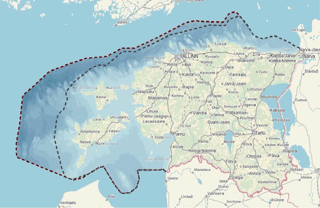
Triin Lepland, deputy director of the planning department at the Ministry of Finance, said the planning process included a number of environmental analyses, such as the status of seal, bird, bat, algae and shellfish populations, but also an assessment of the impact on people in social, cultural, economic and health terms. Lepland explains on the Finance Ministry’s blog that the plan sets out where and under what conditions offshore wind farms can be built. The analyses take into account, among other things, wind level and sea depth. Overlapping of wind areas with protected natural resources (including Natura 2000 areas) is also excluded.
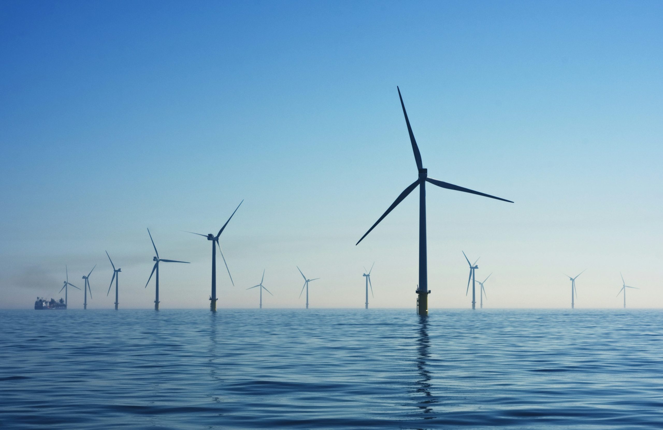
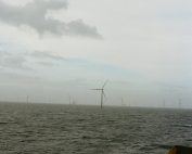
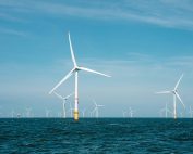
The representative of the Ministry emphasizes that planning of offshore wind energy is an important process. On one hand, the country needs to meet its climate goals and find economically viable solutions, on the other hand, it is clear that coastal communities are skeptical about wind farms, mainly because of landscape disturbance. This sector may also have some impact on traditional marine uses. To balance the interests of all parties, for example, a social buffer is provided to reduce visual impacts – the installation of wind turbines cannot be planned closer than 11 km from the coast. In total, more than 20 conditions have been set for wind energy. Apart from compensating for the disruption caused by wind turbines, the government has focused on what is known as the instrument of local benefits and the tolerance of municipalities and communities to learn how to compensate for the disruption caused by wind turbines.
About 70 percent of maritime areas is expected to be in use . This means that complete coverage of the site with wind turbines is not possible. Further studies are foreseen to assess the environmental impact of wind investments at this stage. The impact assessment includes, but is not limited to, a review of spawning grounds for various fish species, birds, and bats. For example, in the Gulf of Riga towards Kihnu and Ruhnu, and in Saaremaa beyond the Sõrve foothills, intensive migration of bats and shorebirds is observed, which should be taken into account at the stage of issuing construction permits.
25 November marks a public discussion on the project
Any interested party can still comment on the draft for a month after the plan is presented, which is until December 8. The department invites everyone to an online public discussion of the plan on Nov. 25 at 1 p.m. – participation requires pre-registration. The materials (explanatory memorandum, impact assessment report and map application) can be found at marineala.hendrikson.ee, and information on the planning procedure is available on the Ministry of Finance website www.rahandusministeerium.ee/planeeringud.