As we read on the website of the Federal Agency for Nature Conservation (Bundesamt fur Naturschutz), guidelines have been published for a large-scale mapping procedure of geogenic reefs formed from natural rock deposits in the German part of the Baltic Sea.
The guide was published in cooperation with the coastal states of Mecklenburg-Vorpommern and Schleswig-Holstein. It is intended to serve as a model for the relevant conservation authorities in the future. The responsible authorities had previously agreed on the technical basis within the Federal and State Working Groups on the Environment. North Sea and Baltic Sea (BLANO).
BNF reports that based on sound wave surveys of the seabed, in research collaboration with the Federal Maritime and Hydrographic Agency and geological institutes, the BfN has developed a new method for recording rock fields. The guidelines specify how, using a geographic information system, geogenic reefs should be mapped. With standardization, the new procedure provides credibility.
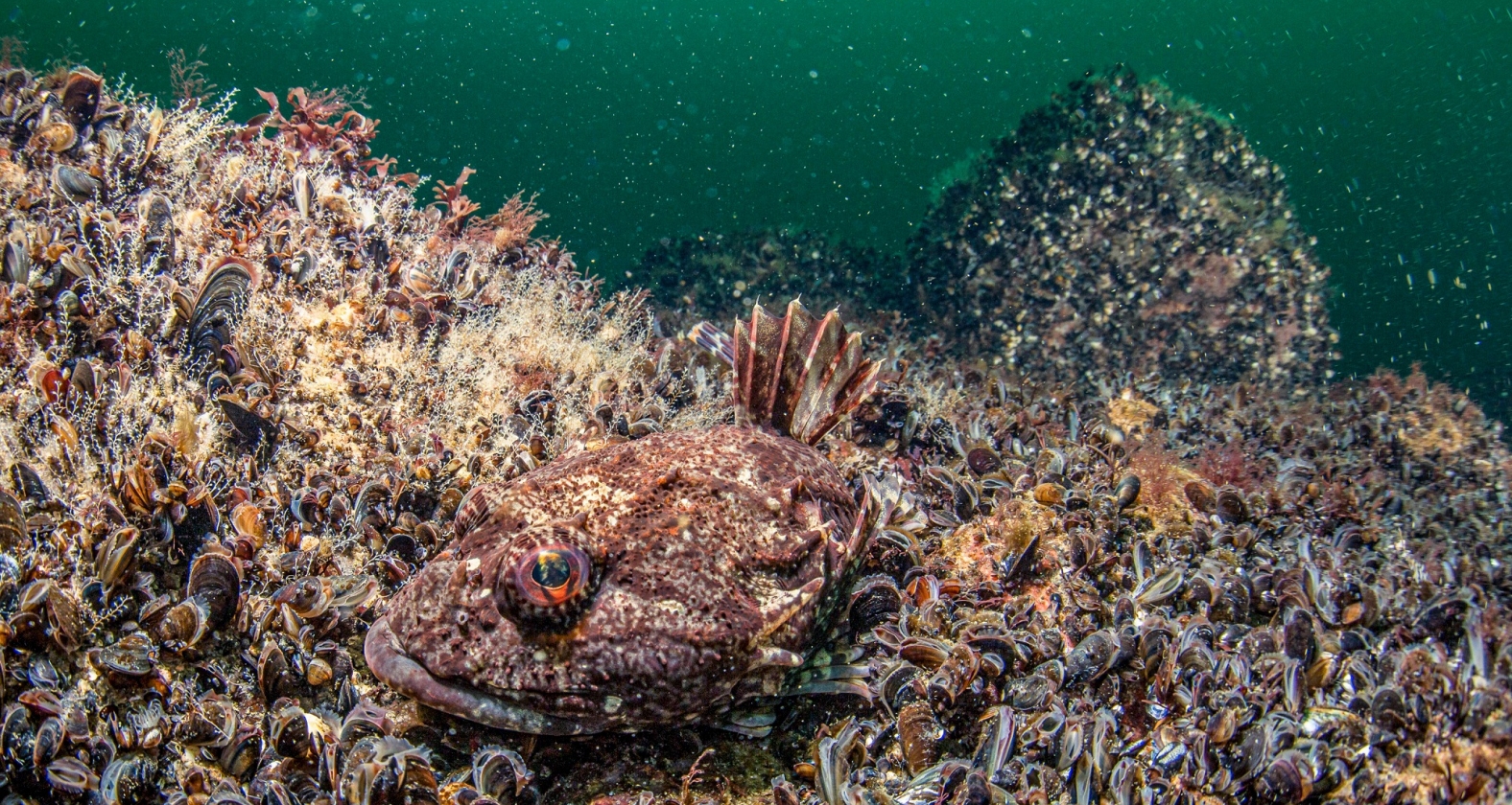
Reefs are ecologically particularly valuable marine habitats and are therefore protected under the European Habitats Directive and the Federal Nature Conservation Act. Like biogenic reefs, which are built by living organisms, geogenic reefs are also important habitats for many marine organisms.
For the mapping of geogenic reefs in the Baltic Sea, the new guidelines are already applied in several areas both in the territorial sea and in the adjacent exclusive economic zone of Germany. For example, mapping has already been successfully carried out in the Fehmarnbelt nature reserve area.
Source: Bundesamt fur Naturschutz