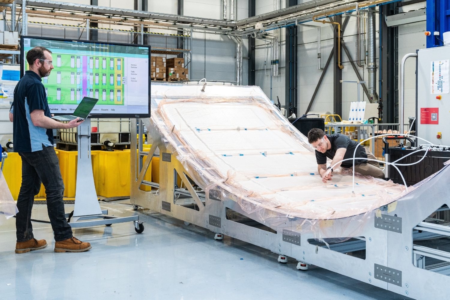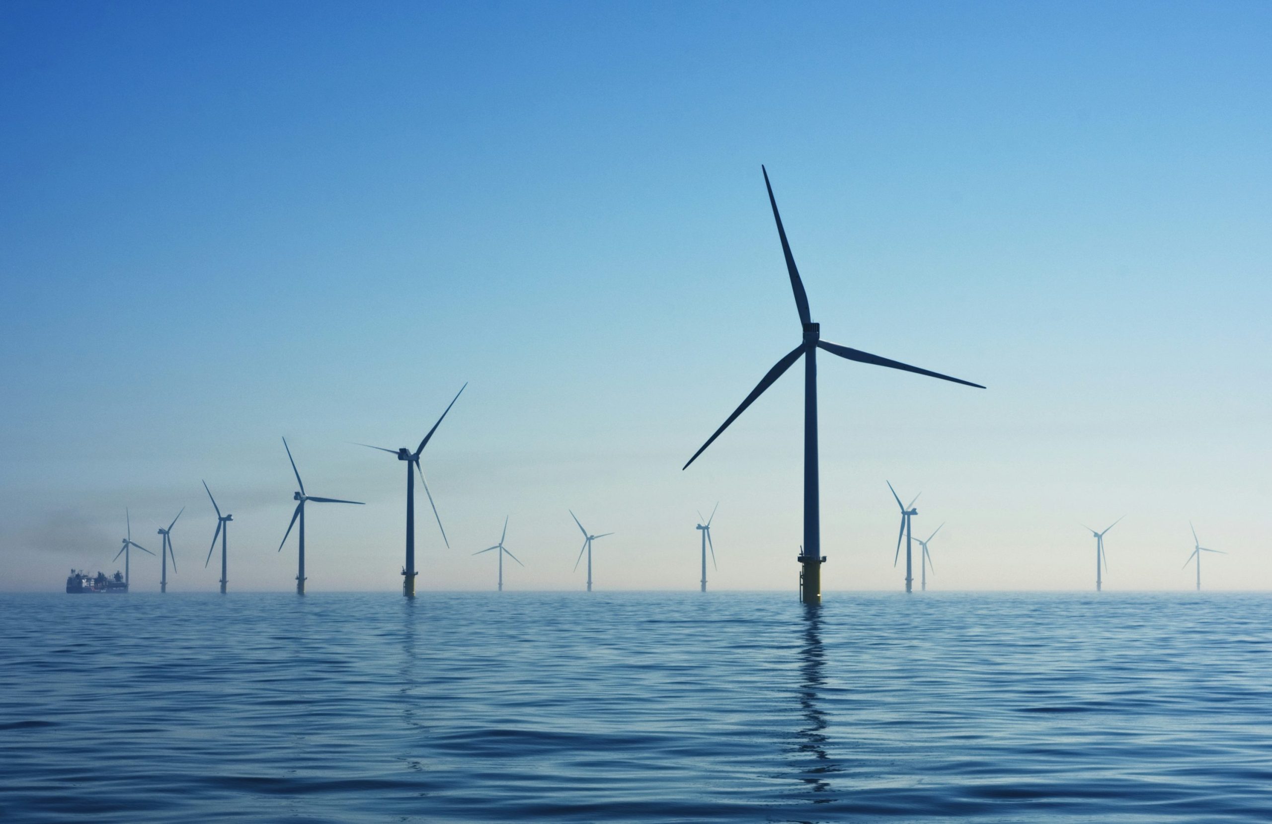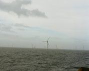
PGE Baltica announced the completion of the first full year of wind measurements in Baltica 1 project area, and thus successfully completed Phase I of a measurement campaign aimed at capturing the full seasonality in recorded measurement data. As analysts point out, the consistency of the measurements was undisturbed, and the required threshold for data availability was met.
The results of these measurements and, most importantly, accurate wind speed and direction data for a full year will allow a preliminary analysis of the wind resource and productivity of the planned Baltica 1 wind farm. The remaining meteorological and oceanographic data, on the other hand, will be used to continue the work at the stage of detailed design of individual elements of the farm.
At the same time, PGE Baltica said it will continue measurements in the Baltica 1 area for another year. One year’s measurements are the minimum necessary, but another year will give an even more complete picture of conditions at sea.
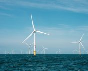
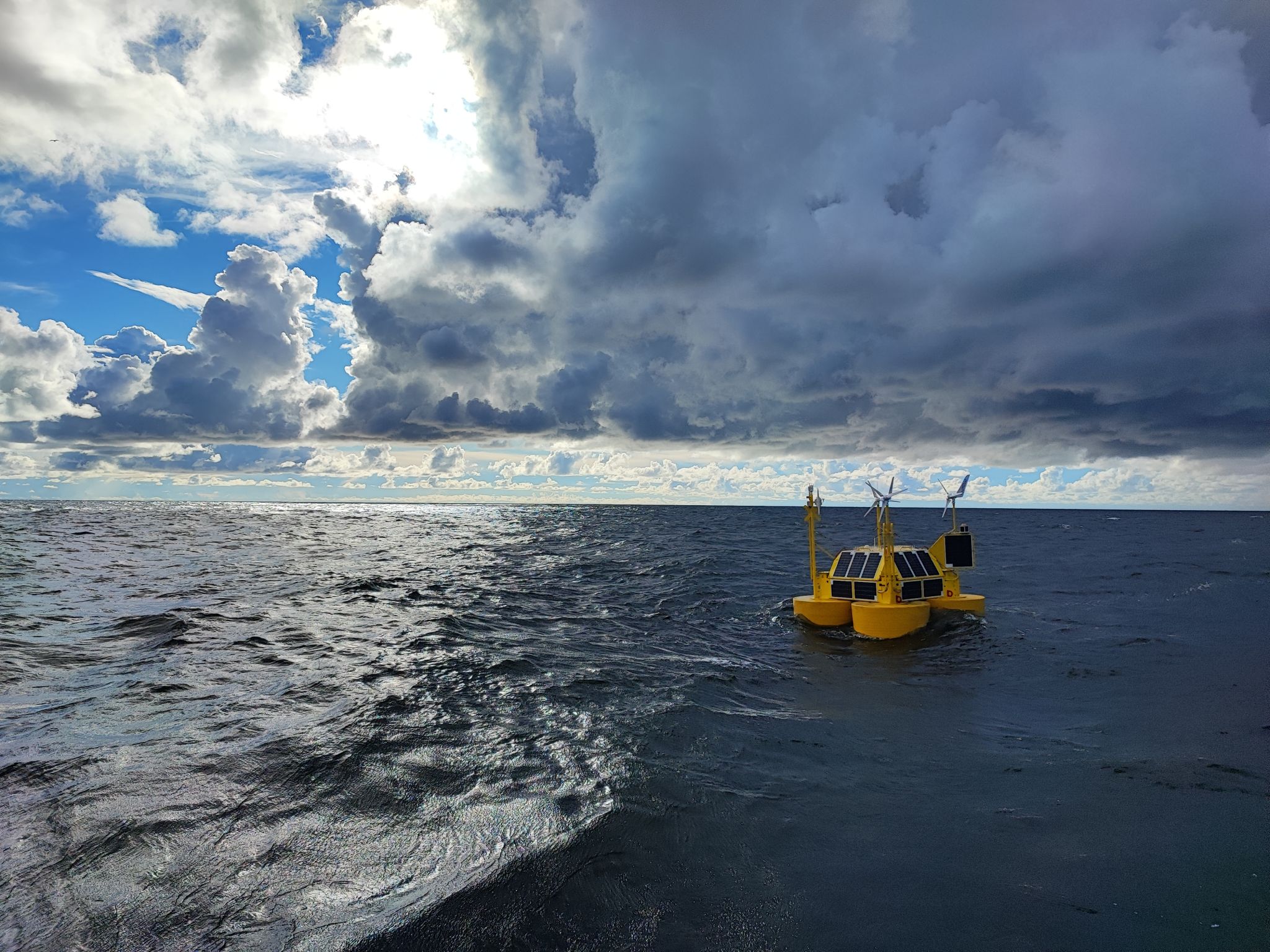
The survey uses a special measuring device operating with floating LiDAR technology located about 85 km offshore. It uses light from a laser beam that reflects off suspended particles in the air and returns to the device. By analyzing the reflected signal, the device estimates the speed of air masses moving over it. The equipment used allows wind surveys to be performed up to about 200 meters above sea level. Additional sensors mounted on the buoy also make it possible to measure the movement of waves and sea currents.
The Baltica 1 project, with a capacity of about 0.9 GW, is scheduled for commissioning after 2030.
Source: PGE Baltica