The government adopted the Estonian Maritime Spatial Plan on May 12. It will form the basis for the future organization of maritime actions.
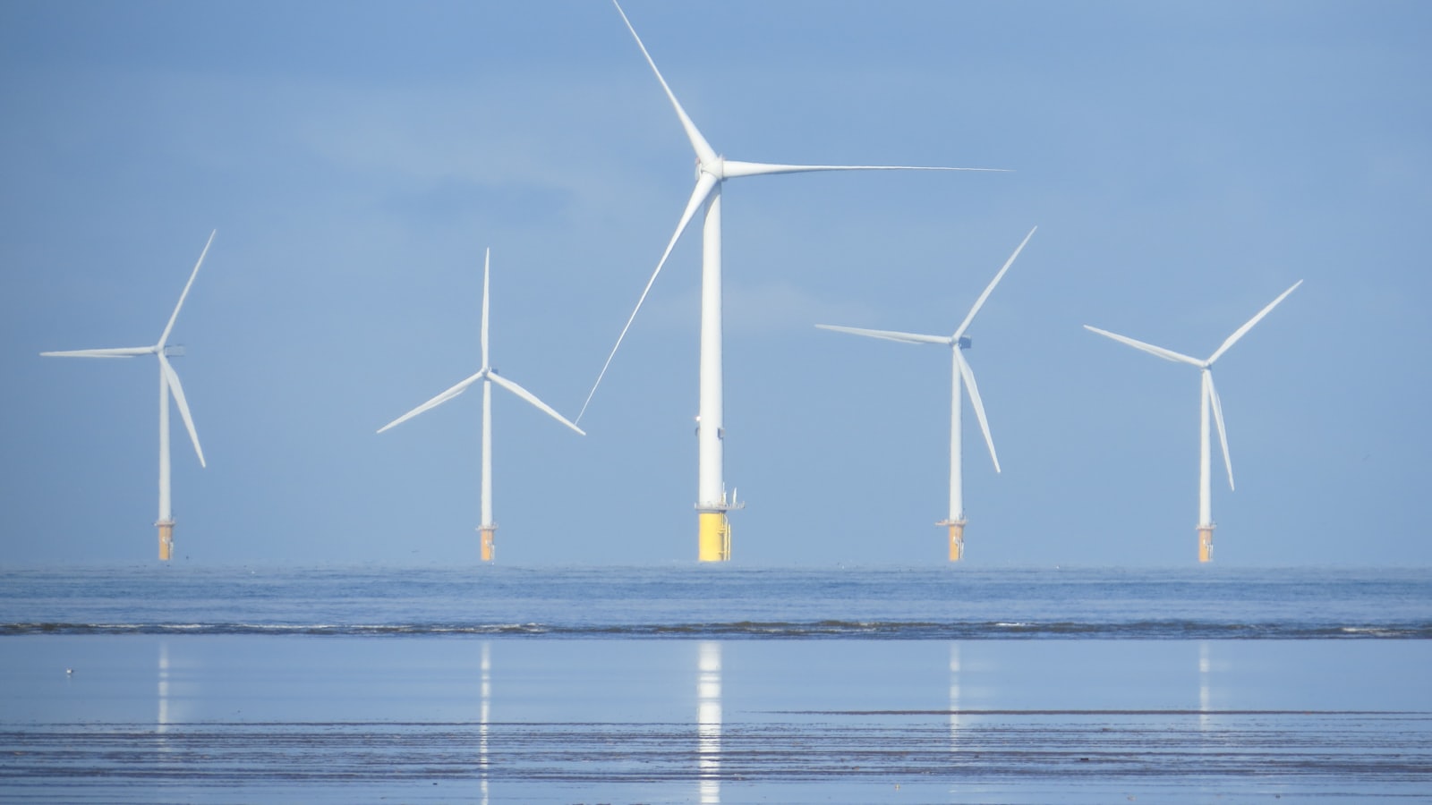
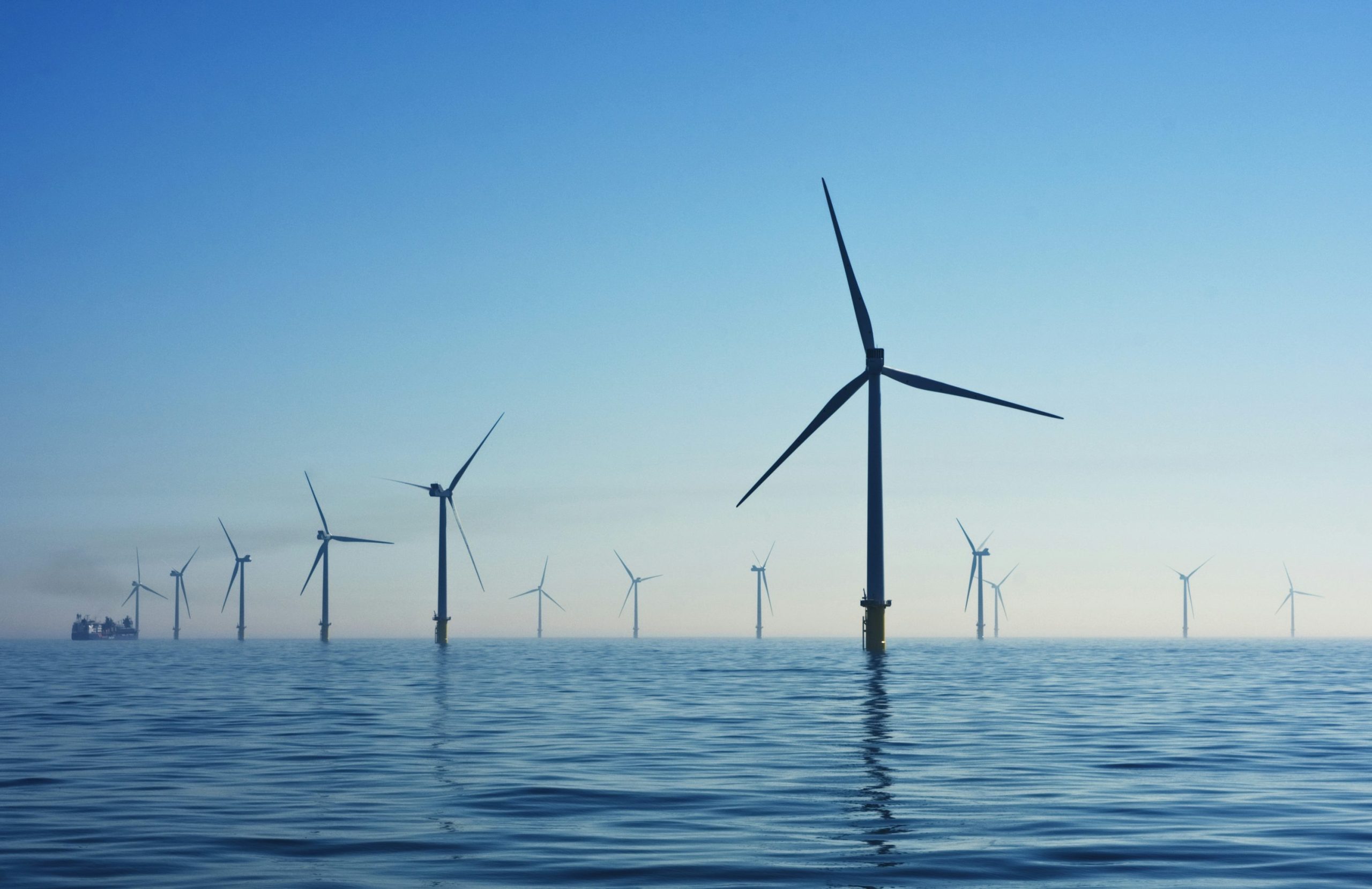
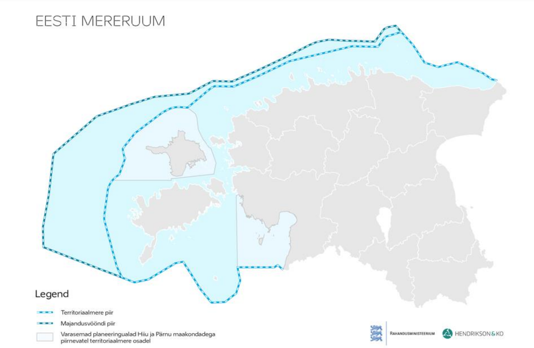
The plan regulates activities in various sectors, sets rules for sharing marine areas and opens up prospects for new uses of the sea, like offshore wind energy. At the same time, the previously adopted plans for the Pärnu and Hiiu marine areas will remain in force.
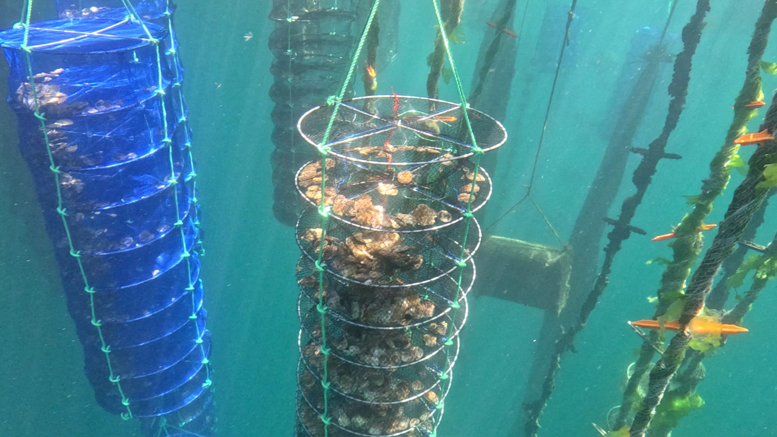
“The use of the sea in Estonia has changed, with new uses such as aquaculture and wind energy joining traditional activities such as fishing and shipping. All necessary measures must fit in without harming the sea state and each other”, said Jaak Aab, Minister of Public Administration.
In total, the marine spatial planning process took nearly five years. The process involved hundreds of people – experts, partners and stakeholders. Katri-Liis Ennok, Director of the Planning Department at the Ministry of Finance, said that stakeholders, from developers to conservationists and from fishermen to diving enthusiasts, have been involved to the maximum extent possible.
The government has focused more on joint use and new areas.
“For example, for energy production, areas suitable for offshore wind farms and potential cable corridors for onshore connection are identified. Also, with the rapid growth of the industry, areas where aquaculture is not possible to implement cannot be developed”, Ennok explains.
Marine spatial planning is both an aid to operators and a protection for the sea, she stresses. It is precisely to prevent potential negative impacts that conditions are set that require developers to conduct studies, work with municipalities and involve the community in these processes.