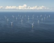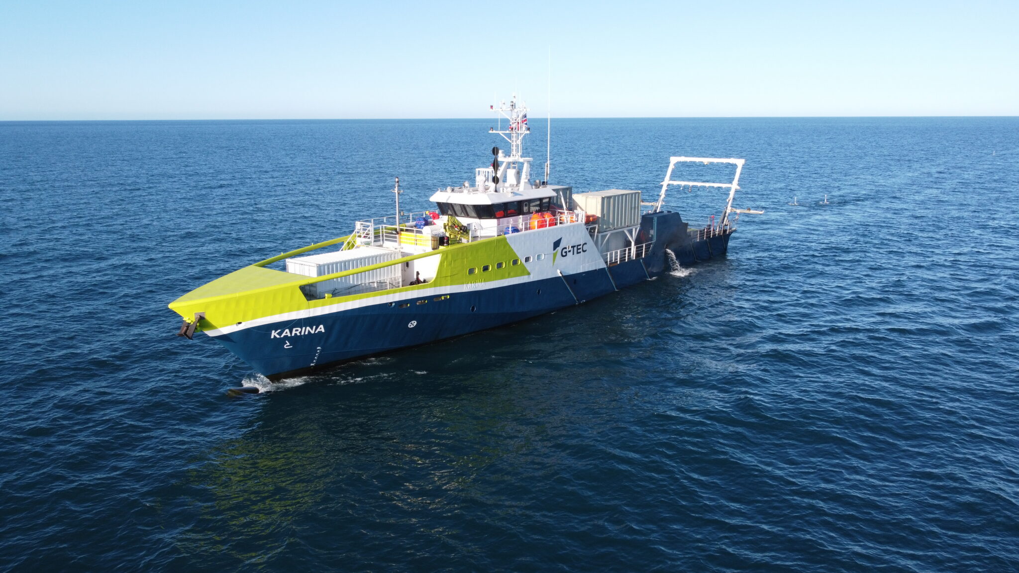
The Geophysical Survey of the ELWIND offshore wind farm areas, carried out by G-TEC, is scheduled to begin in September and will last for up to two months.
This will be a comprehensive seabed survey designed to support the preliminary design of future offshore wind farms in the project area.
The main objectives of the survey are to acquire detailed data for:
· Seabed and subsurface mapping – combining bathymetry, sediment characterisation, and seismoacoustic studies to provide an accurate picture of seabed conditions, geological setting, and soil properties essential for foundation design
· Identification of objects and hazards – including shipwrecks, unexploded ordnance (UXOs), chemical warfare remnants, and natural features such as boulders that may affect wind farm planning
· Environmental baseline mapping – including backscatter imagery to support benthic habitat studies and ecological assessments
· Geotechnical survey optimization – as the ground model developed from geophysical data will guide the planning and execution of the geotechnical investigation program
· Risk reduction in design – ensuring that the concept design based on environmental and geophysical studies is reliable and minimizes uncertainties in the next phases of development
Source: Elwind Offshore