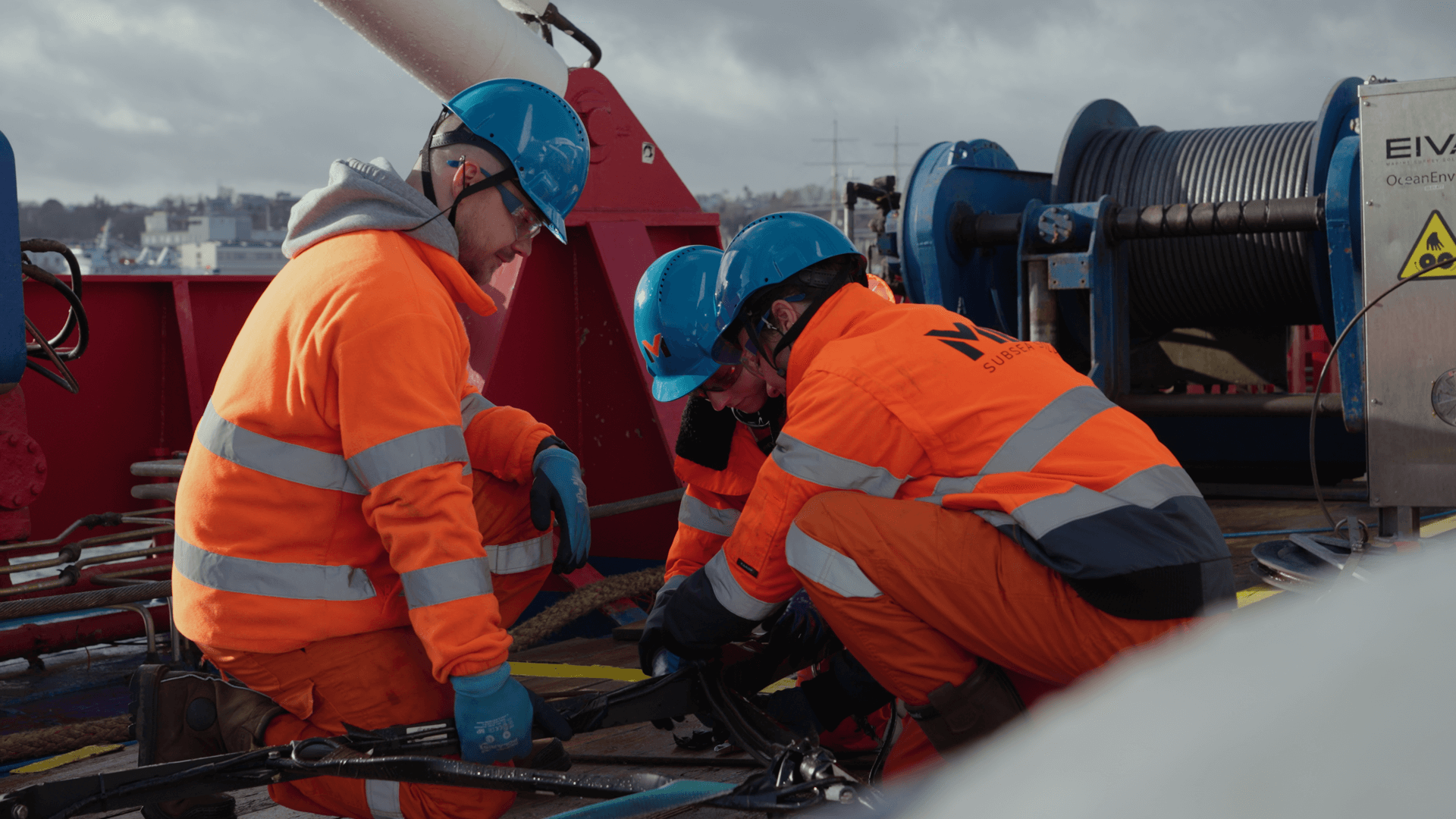
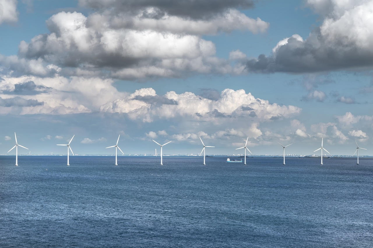
Approximately 80 km from the Polish Baltic coast, in the Central Shoal area, in the area where one of PGE’s offshore wind farms, Baltica 1, will be built, research is being carried out to identify the Baltic seabed. These activities are essential prior to construction of the offshore wind power plant.
Since the end of last year, research has been carried out in the area of the future wind farm and its connection in order to obtain an environmental decision for the Baltica 1 project. Until now, no research has been carried out on such a large scale and with such great precision in the considered area. One element of the extensive research is a geophysical campaign.
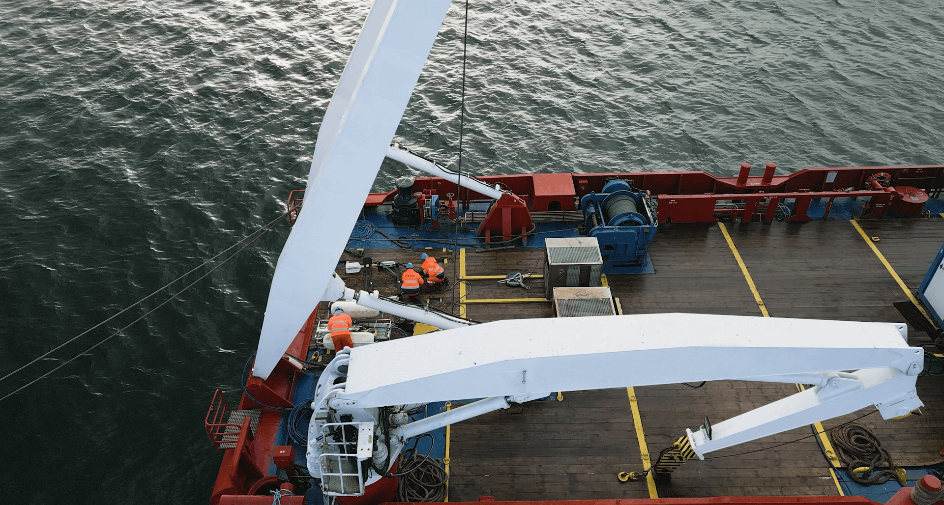
– The environmental surveys that are being conducted are primarily aimed at identifying potential locations where life may be found. We want to accurately identify them. In turn, the geophysical surveys will allow us to image the bottom, the objects lying on it and to gently penetrate the bottom sediments to identify them. In addition to bathymetric surveys, which allow us to create a numerical map of the bottom, sonar images are also taken. These make it possible to identify specific objects and geological formations on the bottom. This is possible through the use of equipment based on acoustic, seismic and magnetic methods, such as side scan sonar, multibeam echo sounder, sub-bottom profiler for seismo-acoustic profiling and sparker for seismic surveys – said Paweł Gajewski, CEO of MEWO S.A.
The geophysical survey will last at least until July. The survey area will be covered with a grid of measurement profiles measuring a total of more than 6,000 km, along which a research vessel with installed measuring equipment will travel at a speed of approximately 4 knots. The acquired information will be used to determine the investment’s impact on the environment and will provide important input for the design and selection of technology used to construct the wind farm.
Analysis of the acquired data
All acquired data will undergo advanced processing and analysis. The collected ground samples will be analysed in accredited laboratories of the Maritime Institute of the Gdynia Maritime University.
– Several laboratories – chemical, geotechnical, biochemical – are involved in the project. A number of specialists are involved in analysing the data we obtain from, among others, the laboratories, but also the data obtained from marine research. This is necessary for the preparation of the environmental impact report, which will make it possible to obtain a decision on the environmental conditions of the investment – said Maciej Matczak, PhD hab., UMG professor, Director of the Maritime Institute at Gdynia Maritime University.
Data used not only for preparing the environmental impact report
Geophysical research will allow a preliminary analysis of the studied area’s potential. The information gathered will be an important input in the selection of the final technology used to construct the wind farm.
– We use the data obtained from the surveys for a number of purposes. We create a soil model on the basis of which further geophysical, geotechnical surveys are planned to further explore the area. We carry out a range of preliminary design work. We can already pre-select the technology, the most optimal solutions for the infrastructure of the wind farm and along the route of the cable transmitting electricity from sea to land. We are also making a preliminary layout of the turbines, but we are also identifying sites that are not optimal for developing the project – said Grzegorz Figacz, Deputy Director of the Offshore Wind Farm Department at PGE Baltica.
Baltica 1 is one of three projects currently being developed by the PGE Group in the Baltic Sea. Later this decade, the wind projects Baltica 2 and Baltica 3, which make up the Baltica Offshore Wind Farm with a total installed capacity of about 2.5 GW, will be launched. Baltica 1, on the other hand, which is currently undergoing geophysical surveys, will have a capacity of approximately 0.9 GW. It will be built after 2030.
