Germany’s Federal Maritime and Hydrographic Agency, the Bundesamt für Seeschifffahrt und Hydrographie (BSH), has awarded Fugro a geophysical survey contract for two offshore wind farm sites in the German exclusive economic zone (EEZ) in the North Sea. Working in collaboration with Fraunhofer Institute for Wind Energy Systems (IWES), Fugro’s Geo-data will be integrated with its ultra high resolution multichannel seismic data (UHR MCS) and used by BSH to develop geological models of the offshore sites and support subsequent geotechnical investigations.
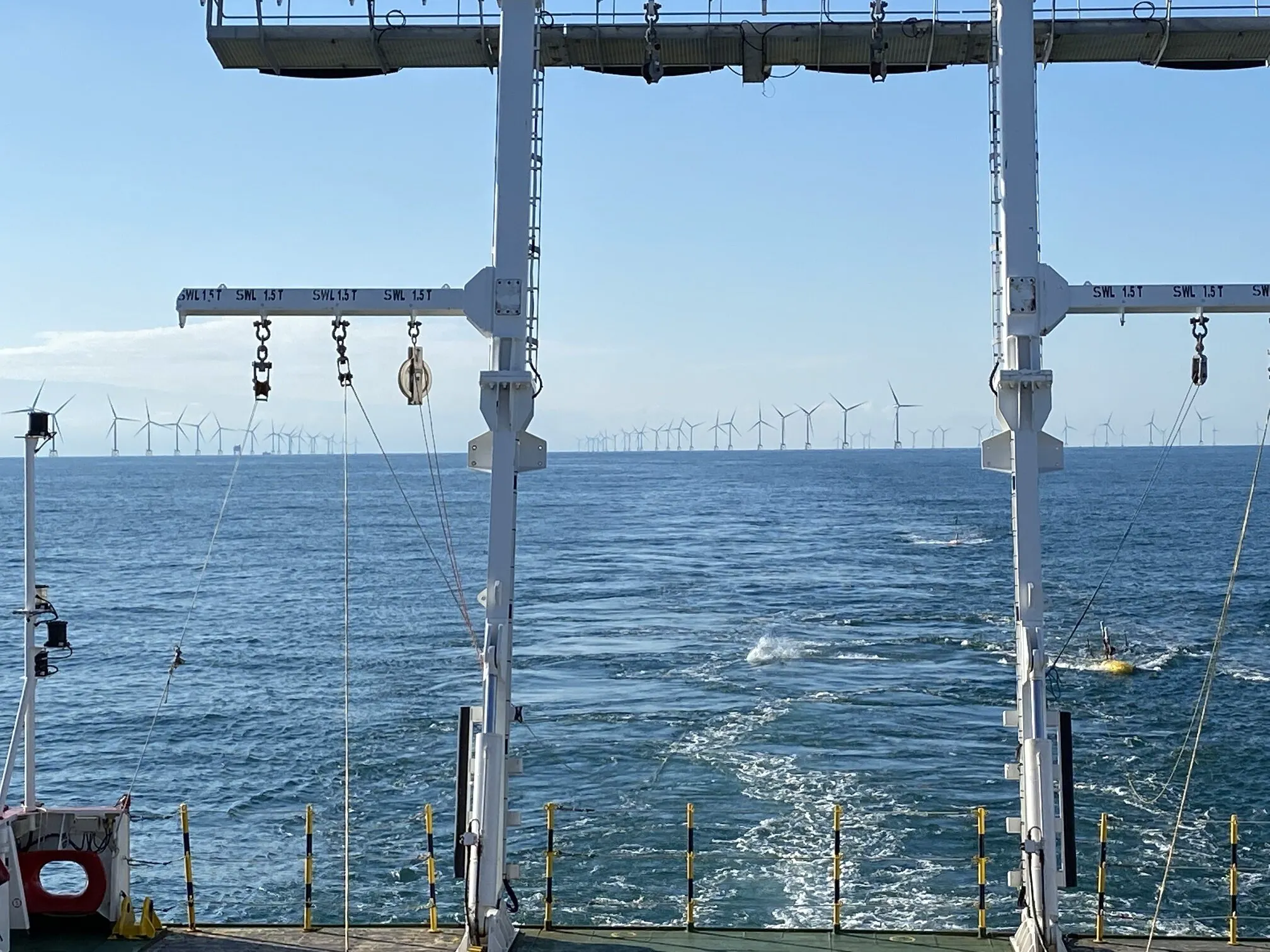
Fugro will mobilise a dedicated survey vessel to perform high-precision positioning, sub-bottom profiling recording and interpretation. Additionally, Fraunhofer IWES will be responsible for conducting the multichannel seismic survey, dedicated data processing and interpretation. A dense data raster will be generated totalling 2393 km survey lines. The sub-bottom profiler data provides detailed structural imaging of sediments up to 15 m below the seafloor while the UHR MCS data penetrates more than 100 meters to capture images of small sedimentary bodies and deep valley structures carved by glaciers and filled with younger sediments.
The collaboration of know-how and resources between both teams, will guarantee a safe and efficient survey that meets BSH’s stringent planning schedule. The final result will be a preliminary subsurface model that can be used as the basis for future geotechnical survey campaigns as well as to reduce the risk for the future installation of the windfarms.
Connor Schulze, Fugro’s Business Development Manager of Renewables in Germany, adds: “Our demonstrated track record of delivering high-quality Geo-data efficiently has proven to be a great fit with BSH’s workflow. Fugro is committed to supporting the German government’s energy transition goals, and we are excited to continue our successful partnership with BSH to contribute to the development of German offshore wind farms.”
Dr. Julia Haberkern, Group manager of the Geophysical Site Characterisation group in Fraunhofer IWES and project lead, explains: “The geophysical investigation is one of the first steps in the planning phase of offshore wind farms. We support the wind energy sector by providing timely, high quality MCS data, maintaining a focus on developing the technology and providing suitable solutions.”
The sites are due to be auctioned in the coming years and will play a significant role in Germany’s energy transition plan, which aims to achieve a target of 30 GW by 2030.
Source: Fraunhofer IWES
