A new open access scientific paper has unveiled one of the most detailed seabed datasets ever produced for the Polish part of the Southern Baltic. The study by Łukasz Janowski and a large team of co-authors, published in Earth System Science Data, describes high-resolution hydroacoustic data covering more than 7,000 square kilometres of Polish marine areas, collected between April 2022 and December 2023.
The data are freely available through the national eCUDO repository and are expected to become a key reference for offshore wind developers, regulators and researchers working in the Polish Baltic Sea.
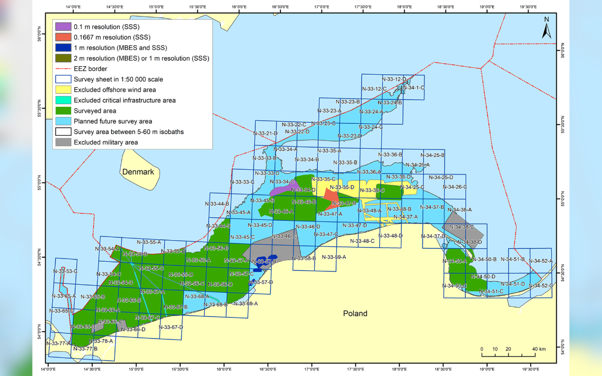
Seven vessels, 95,000 km of survey lines
The campaign was carried out under the national project “Mapping of Benthic Habitats of Polish Marine Areas Using the Sonar Mosaicking Method in 2021–2023”, led by the Chief Inspectorate for Environmental Protection and implemented by a consortium of the Maritime Institute of Gdynia Maritime University and MEWO S.A.
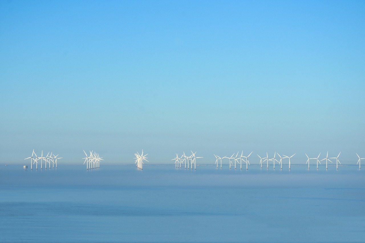
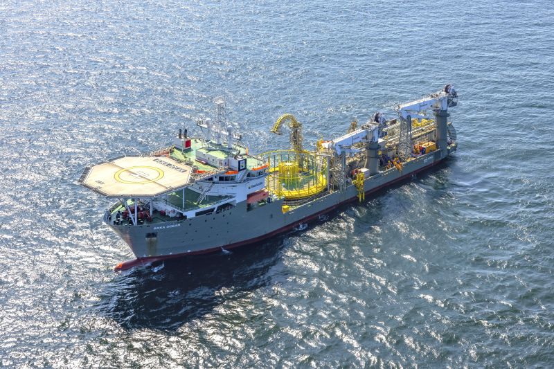
Over roughly 1.5 years, seven survey vessels operated in the Polish part of the Southern Baltic, sailing more than 95,000 kilometres along planned profiles and spending around 500 days at sea. Around 250 people were involved in data acquisition, processing, project management and logistics.
The team used multibeam echosounders (MBES) and side-scan sonar (SSS) to map the seafloor. The resulting products include:
- Bathymetric grids with a cell size of 0.5 m by 0.5 m
- Sonar backscatter and SSS mosaics with a 0.2 m by 0.2 m resolution
- At least one real depth measurement in 95 percent of grid cells, in line with strict project specifications
All surveys followed the International Hydrographic Organization S-44 Order 1a standard, which is widely used for high-quality hydrographic and offshore engineering surveys.
The authors note that MBES backscatter has been released in a “BL0” processing state, which makes it excellent for qualitative interpretation of sediment contrasts but not yet suitable for detailed quantitative acoustic classification. Side-scan mosaics show small residual positioning offsets, and for precise geometry users are advised to combine them with the MBES bathymetry.
Despite these limitations, the dataset provides a robust base layer for scientific studies, environmental assessments and engineering pre-feasibility work across most of the Polish offshore area.
From benthic habitats to underwater heritage
Although the primary purpose of the national project was benthic habitat mapping, the hydroacoustic data will feed into a much broader range of applications. The same research group has already published work on predictive habitat mapping and on submerged cultural heritage in the Southern Baltic.
High resolution seabed data can help:
- Identify and monitor sensitive habitats such as reefs and sandbanks
- Support designation and management of marine protected areas
- Detect shipwrecks and archaeological structures that need to be preserved or avoided by infrastructure projects
- Improve nautical charting and safety of navigation in busy shipping lanes
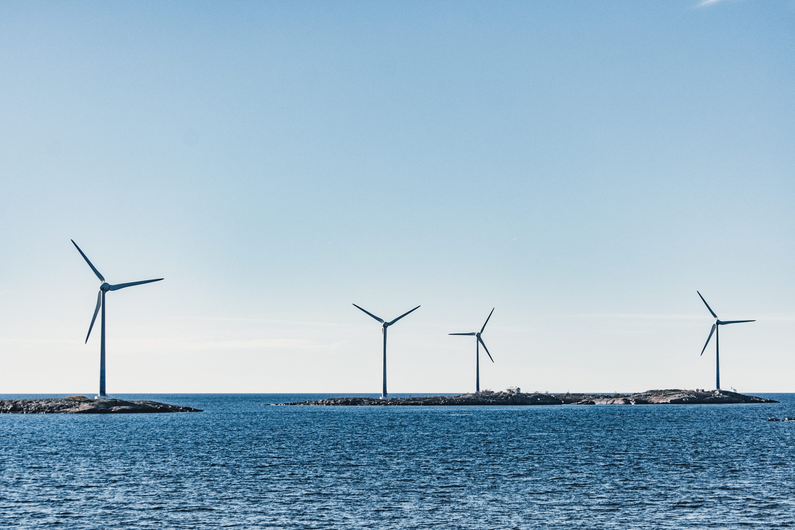
For offshore wind developers, this means better integration of project design with conservation and cultural heritage objectives, which is increasingly important for permitting and social acceptance.
Contribution to global ocean mapping goals
The authors frame the Polish project as a regional contribution to the United Nations Decade of Ocean Science and to the Nippon Foundation–GEBCO Seabed 2030 initiative, which aims to have the entire ocean floor mapped to modern standards by 2030. With 27.3 percent of the world’s seafloor currently mapped, every new block of high-quality data helps close the global gap.
oceandecade.org
The Polish Southern Baltic dataset adds a well-documented and openly available piece to this global puzzle, located in one of Europe’s fastest-growing offshore wind basins.
Related article: https://essd.copernicus.org/articles/17/6839/2025/#:~:text=This%20study%20presents%20high%2Dresolution,habitats%20using%20advanced%20sonar%20technologies