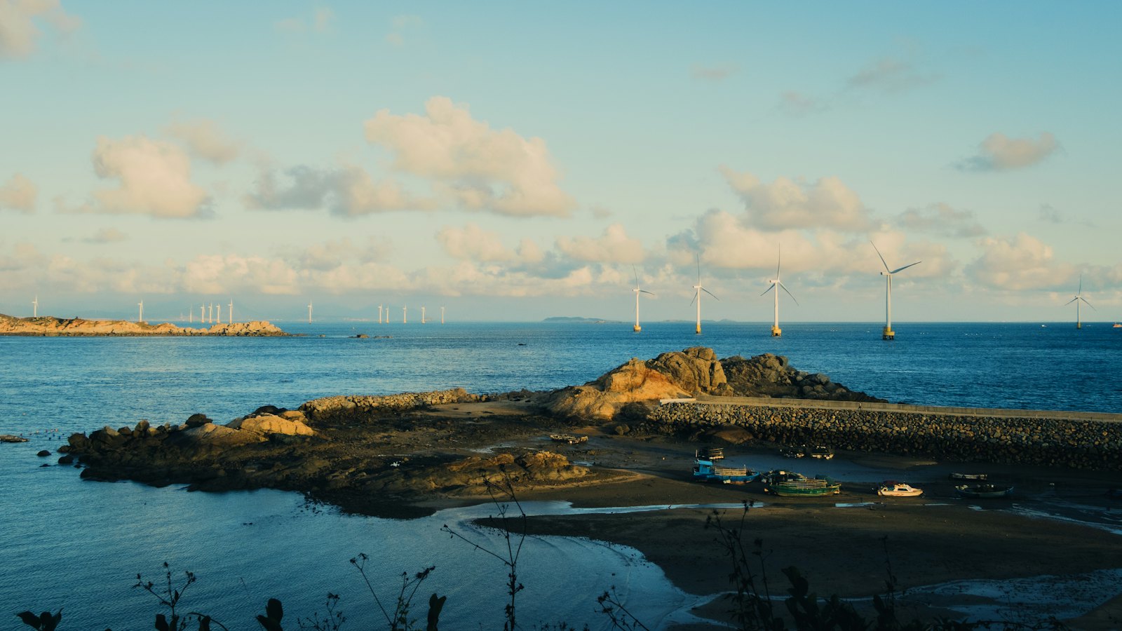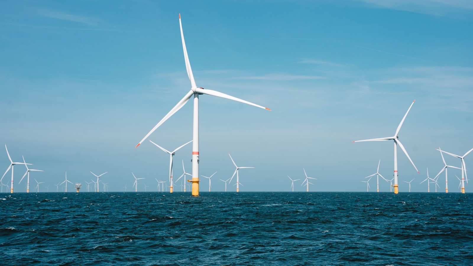
Environmental impact assessments used to be the last box a wind project ticked before construction. In the Baltic Sea and beyond, they have become one of the longest and most data-intensive parts of development — and the methods being used are starting to look less like compliance paperwork and more like applied marine science.
Three strands of work illustrate how the field has moved: designing foundations that actively host marine life, monitoring bats far out at sea, and tracking individual seabirds to decide where turbines should not go.
Foundations designed to be colonised
Saitec Offshore Technologies has installed nature-inclusive design (NID) elements and a multi-trophic aquaculture pilot on its DemoSATH floating wind demonstrator off the Basque coast. The work sits within the AQUASATH project, part of DemoSATH Lab, which uses the operating demonstrator as a real-scale testing ground for environmental interaction and monitoring methods.
The NID elements are adapted to DemoSATH’s underwater columns and filled with shells and mussels, creating new surfaces and microhabitats that give marine organisms room to grow, shelter and feed. Alongside them, a multi-trophic aquaculture pilot uses a mother rope suspending lantern nets, mussel ropes and collector ropes to test whether European flat oysters, pullet carpet shell clams, mussels and Ulva algae can be cultivated alongside floating wind operations. Earlier work at the same site placed biomimetic reef solutions on the submerged section of the platform.
The installation itself was deliberately methodical. Live material was first placed on a mussel raft, with each element numbered and colour-coded for traceability, then transported offshore and secured on the platform by professional divers. Saitec coordinated the operation with Mar Ceibe, Instituto Kardala, Kotazero and Amarradores de Santander, with support from the Basque Government and the European Regional Development Fund.
The practical value is less about the shellfish than about the handling. Knowing how these elements behave when they are lifted, moved and fixed to a floating structure in open water is what makes them specifiable in a commercial wind farm tender rather than a research annex.
Listening for bats 24 hours a day
The Baltic has its own version of that problem, and bats are one of the least intuitive parts of it. For the joint Estonian–Latvian ELWIND project, developers commissioned the Polish company 3Bird to assess whether bats occur over open water at all, how often, and in which seasons. The study covered both Estonian and Latvian territorial waters, taking in the wind farm areas plus a four-kilometre buffer zone, alongside coastal reference points.
Monitoring ran continuously from 1 May to 20 September 2025, covering the full seasonal cycle of bat activity and migration. High-sensitivity ultrasonic sensors recorded around the clock, and the results are being analysed together with meteorological data including wind speed, direction and temperature.
“The collected data will help document the presence of bats at sea, identify their seasonal migration patterns, and assess potential collision or attraction risks in relation to wind turbines,” said Klaudyna Świstun of 3Bird, adding that the methods would also make it possible to identify migration routes and key activity zones.
The offshore monitoring identified four bat species — the serotine bat, Nathusius’ pipistrelle, the soprano pipistrelle and bats of the genus Eptesicus. Coastal points added further species, including the northern bat, Daubenton’s bat and the noctule, for a total of nine across the survey. Activity was concentrated in the spring and autumn migration periods, peaking on warm, calm autumn nights, and was low outside those windows. Before this work, no marine bat monitoring had been carried out in the Latvian part of the project area.
One detail is easy to overlook but says something about how these campaigns now run: the buoys were deployed, maintained and later dismantled using the port of Ventspils and local vessel owners, including fishing boats. Environmental survey work has become a small but real line of regional maritime business.
Following twelve birds to move a turbine
On Finland’s west coast, Metsähallitus has taken the opposite approach — very few animals, tracked in great detail. The state forestry and land management company published results from a GPS study of the Baltic gull, commissioned to inform planning of its Ebba offshore wind project in the Raahe archipelago, where the species is a designated conservation feature of the Natura 2000 area.
The stakes are clear from the numbers. The Baltic gull is listed as globally threatened on the IUCN Red List, with fewer than 20,000 breeding pairs worldwide, and around 75% of those birds breed between Sweden and Finland before migrating to wintering grounds near Lake Victoria in East Africa.
Twelve adult birds were fitted with lightweight, solar-powered transmitters in 2025 — six breeding on the islands of Maakalla and Ulkokalla, six north of Raahe. The devices log location, altitude and speed every five minutes. “It is a highly pelagic species that regularly feeds up to 100 km from the nest and flies very long distances on most days,” said ornithologist Martin Hedén, who leads the monitoring. All tagged birds survived the migration to East Africa and back, and a second season of data is now in hand.
The monitoring is run jointly with the developer of the neighbouring Maanahkiainen project. The two share research data and split survey areas so fieldwork does not overlap, which cuts the number of people entering the gull colony. The surveys are carried out by the consultancy Sitowise as part of the project’s environmental impact assessment. Analysis of the 2026 breeding season will follow.
What this adds up to
Read together, the three cases point in the same direction. Biodiversity work is moving from single-season snapshots to multi-year datasets; from describing impact to changing layout; and from each developer surveying alone to neighbouring projects pooling data to reduce disturbance. The DemoSATH work goes a step further, treating the structure itself as habitat rather than something to be mitigated around.
For the Baltic states now moving large offshore volumes through permitting in shared and ecologically sensitive waters, the practical questions are becoming standardised: how many seasons of data does a regulator expect, who owns it, and can a neighbouring project reuse it. The technical answers — where the birds fly, when the bats cross, what will grow on a foundation — are increasingly available. Whether the region turns them into a common evidence base or repeats the same surveys project by project is a policy choice, not a scientific one.